
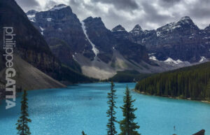
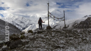
Great Divide Trail (GDT), Canada
300 Km and 11 000m
The Great Divide Trail
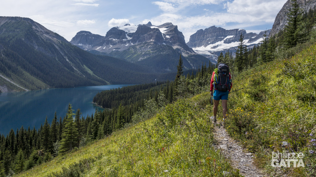
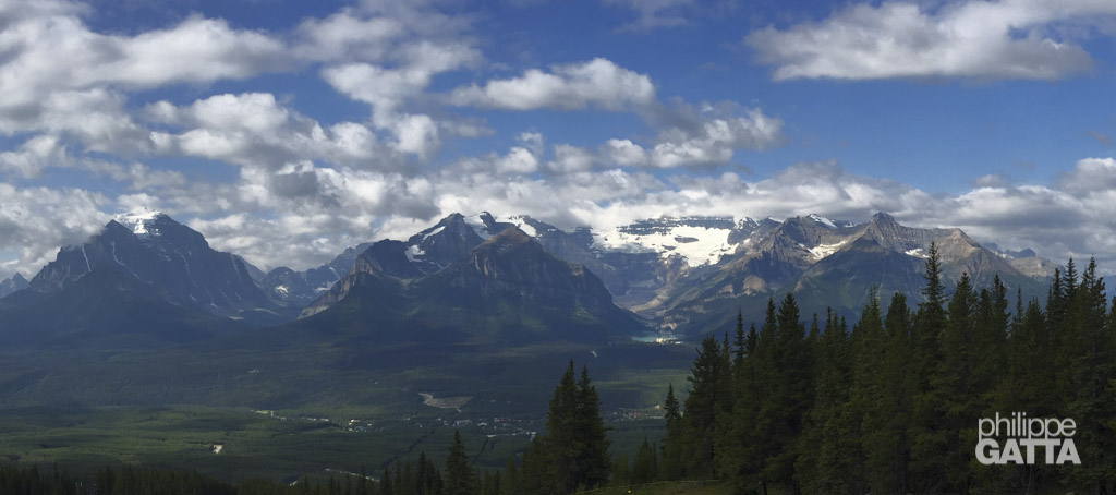
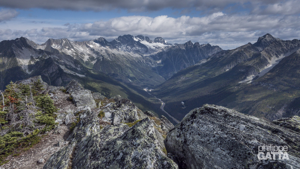
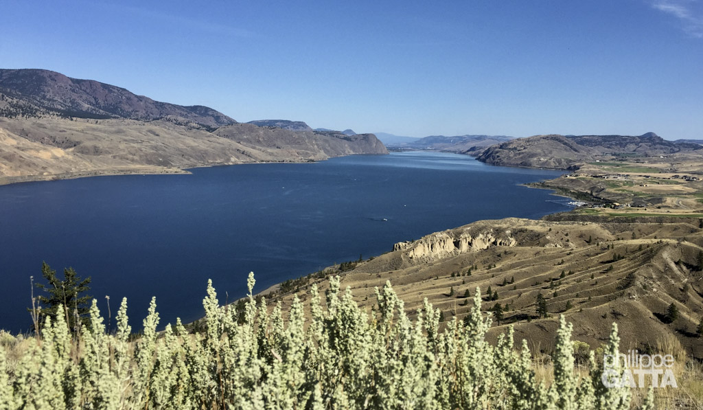
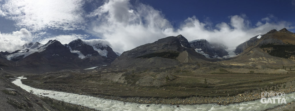
The Great Divide Trail (GDT) is a wilderness trail that spans over 1100 kilometers along the Canadian Rocky Mountains. Basically, it follows the continental divide between Alberta and British Columbia.
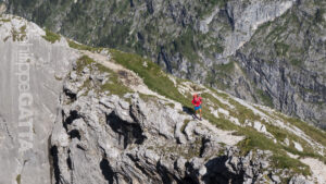
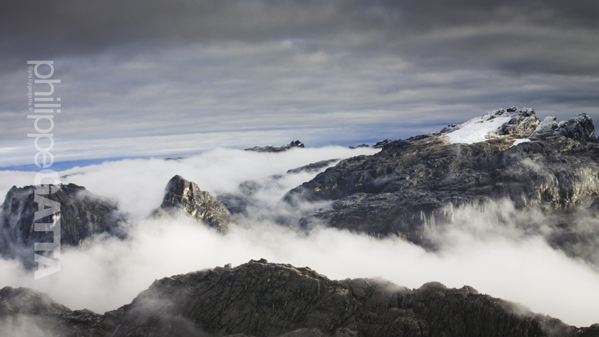
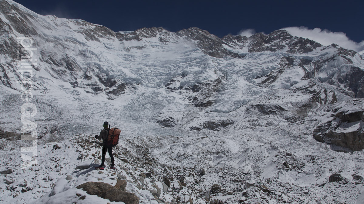
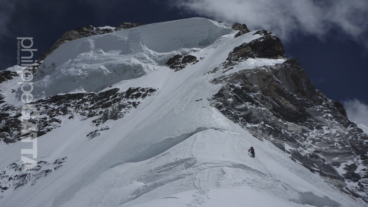
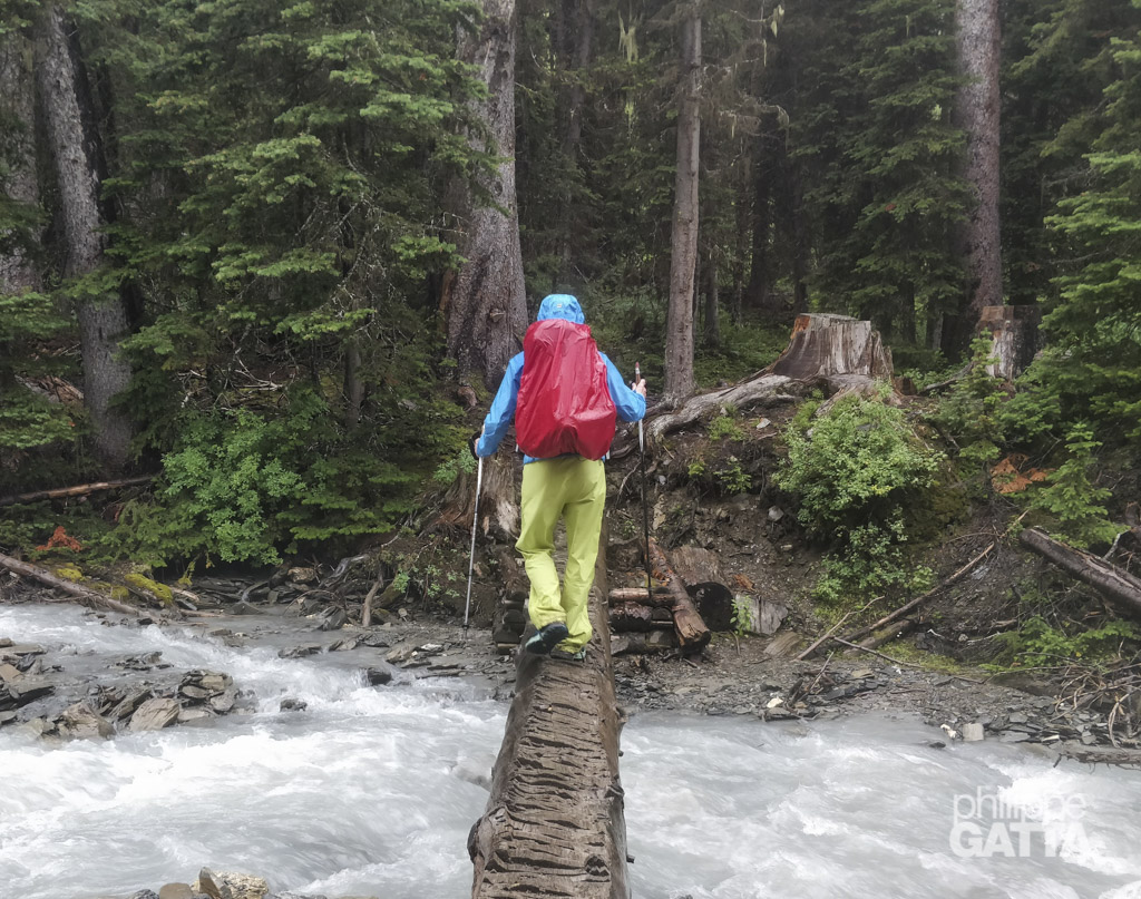
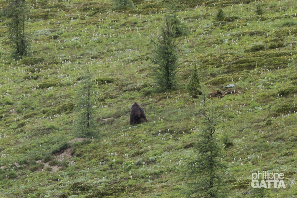
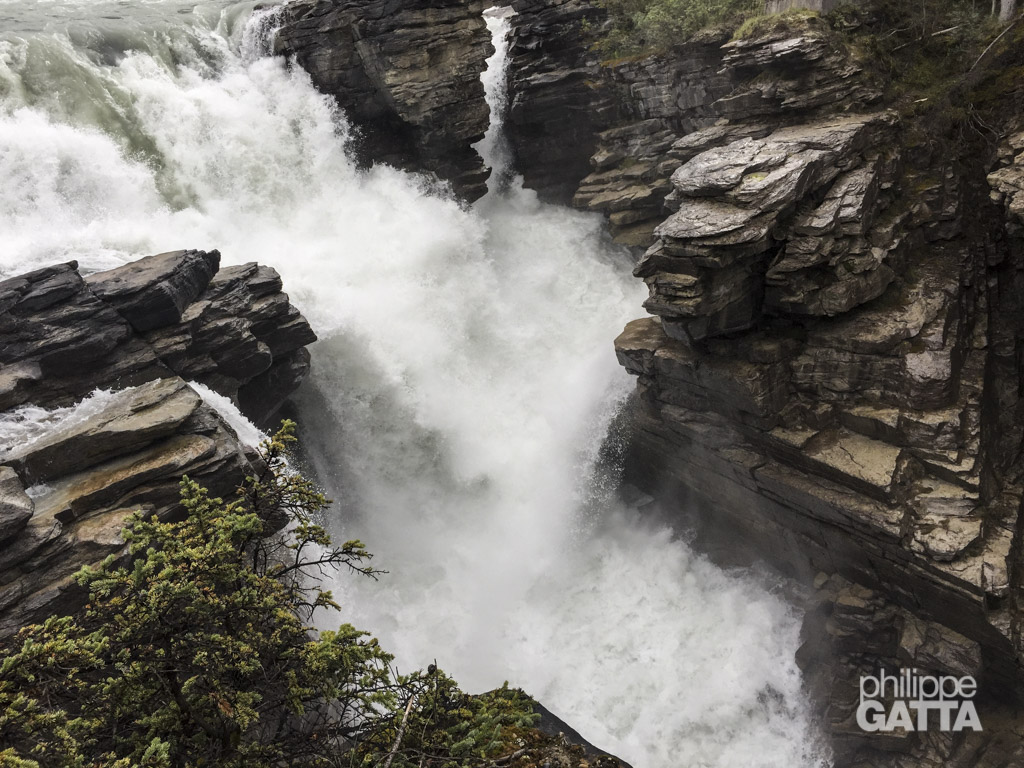
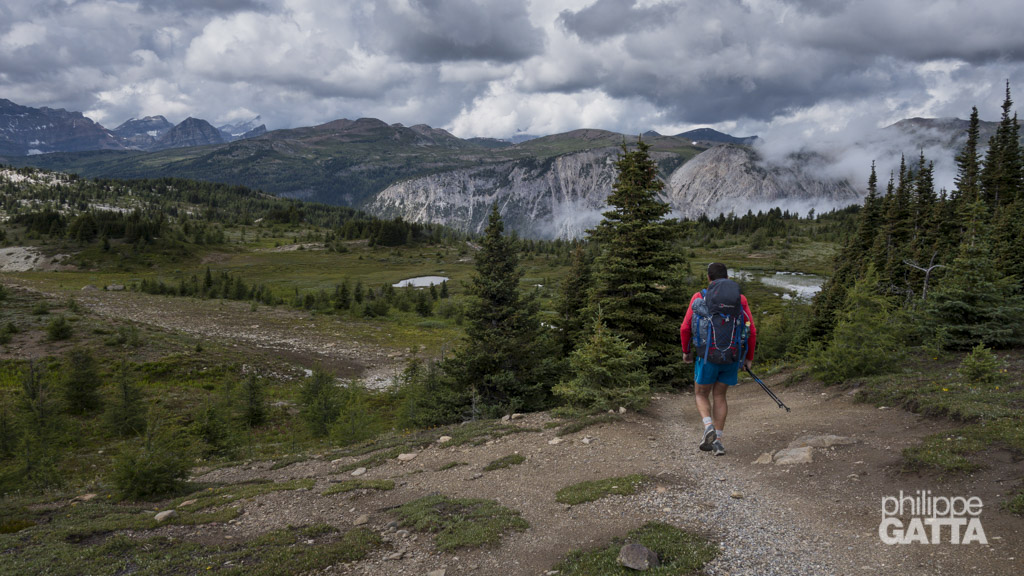
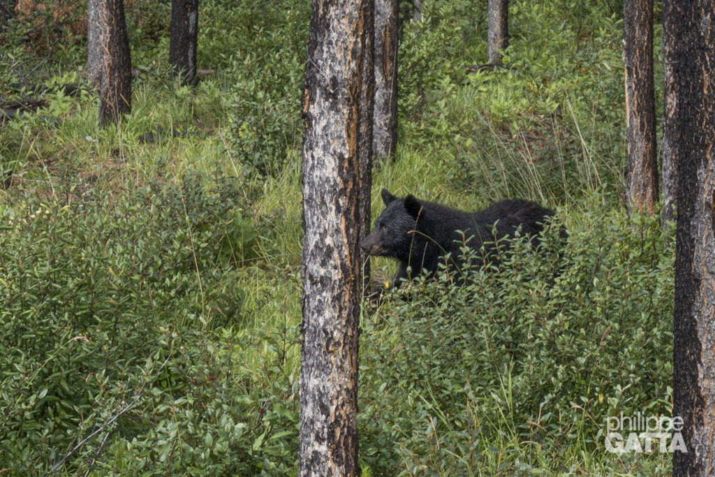
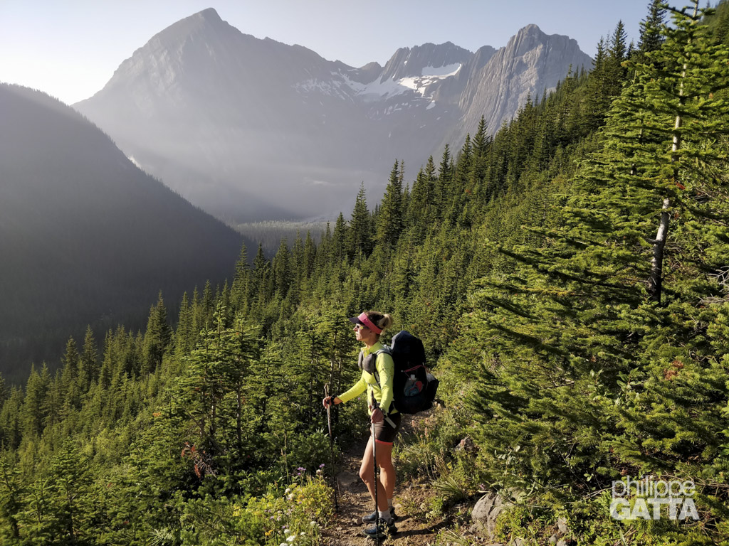
Unlike other traverses, such as the Via Alpina, Tour du Mont Blanc, or GR5, the GDT is not officially designated. Actually it is often a wilderness route rather than a defined trail. Furthermore, some sections of the trail are extremely remote, and dangerous wildlife like bears and wolves pose additional risks. Additionally, flooding, wildfires, bush, and mud can make conditions very challenging.
The fact that the trail is not maintained or marked adds further challenges to navigation and autonomy.
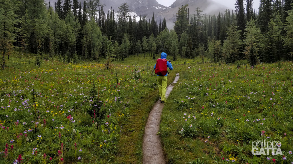
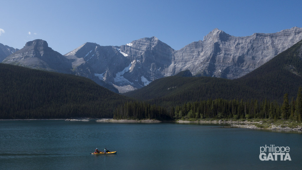
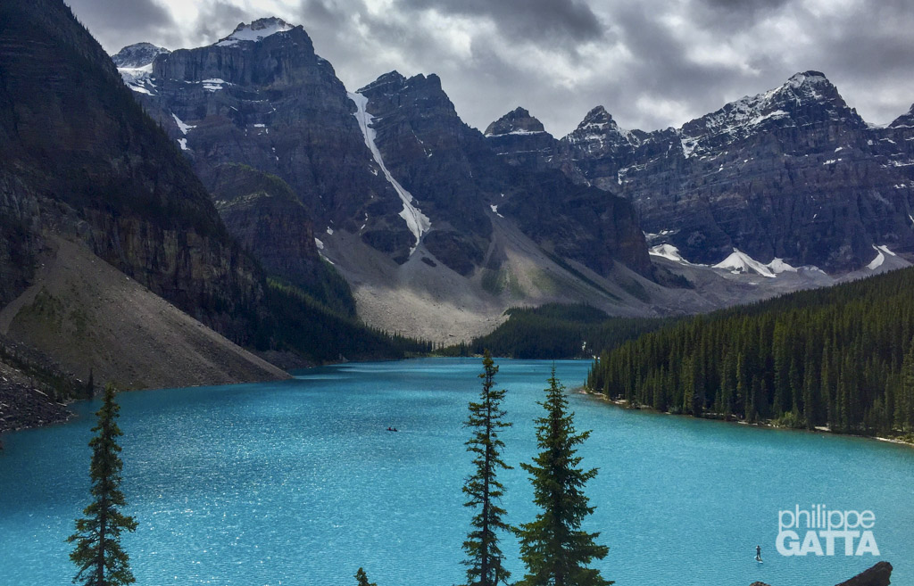
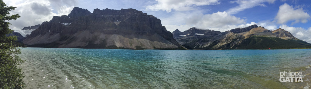
The Great Divide Trail passes through five National Parks: Waterton Lakes, Banff, Kootenay, Yoho, and Jasper. However, crossing these parks adds complexity to the logistics, as wild camping is forbidden and spots in authorized camping areas are very limited and must be booked months in advance. This can be a major issue, as it is not possible to change plans once on the trail due to weather or fatigue.
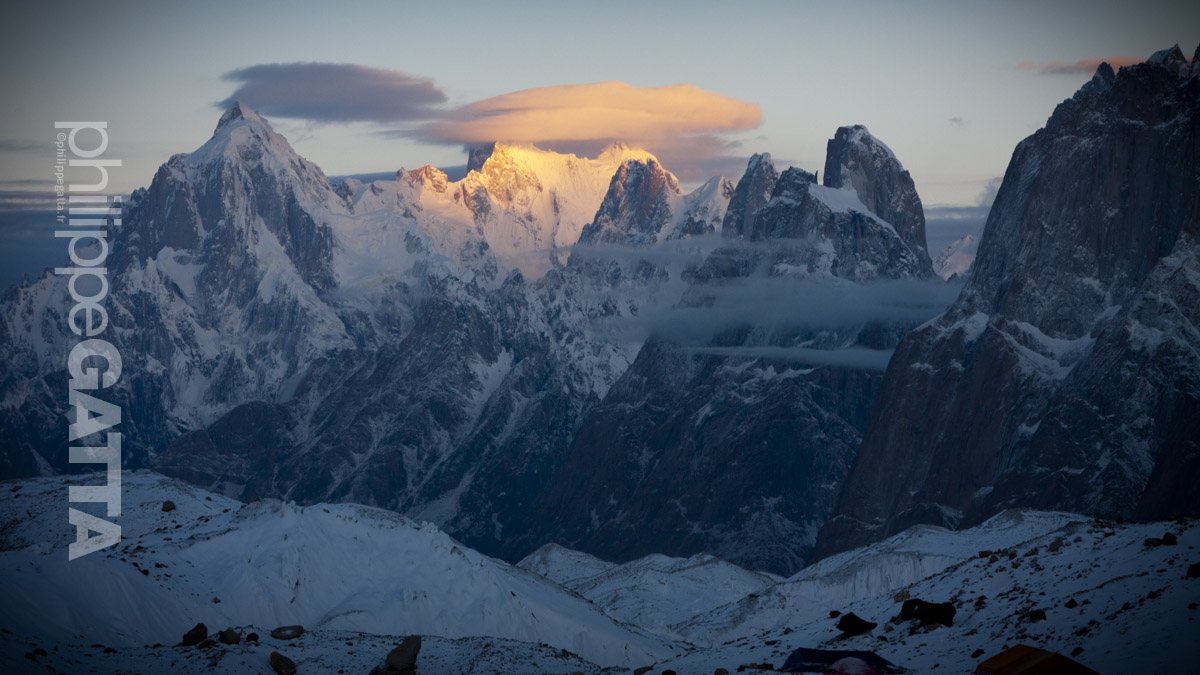
From Peter Lougheed Visitor Centre to Mt Robson
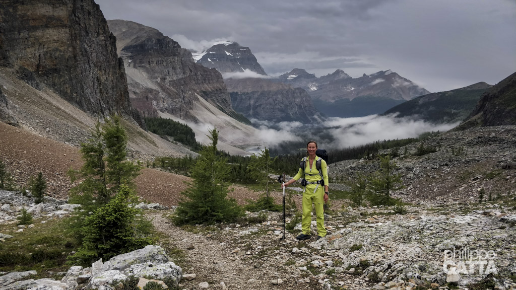
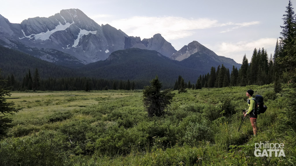
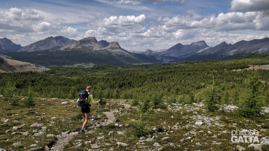
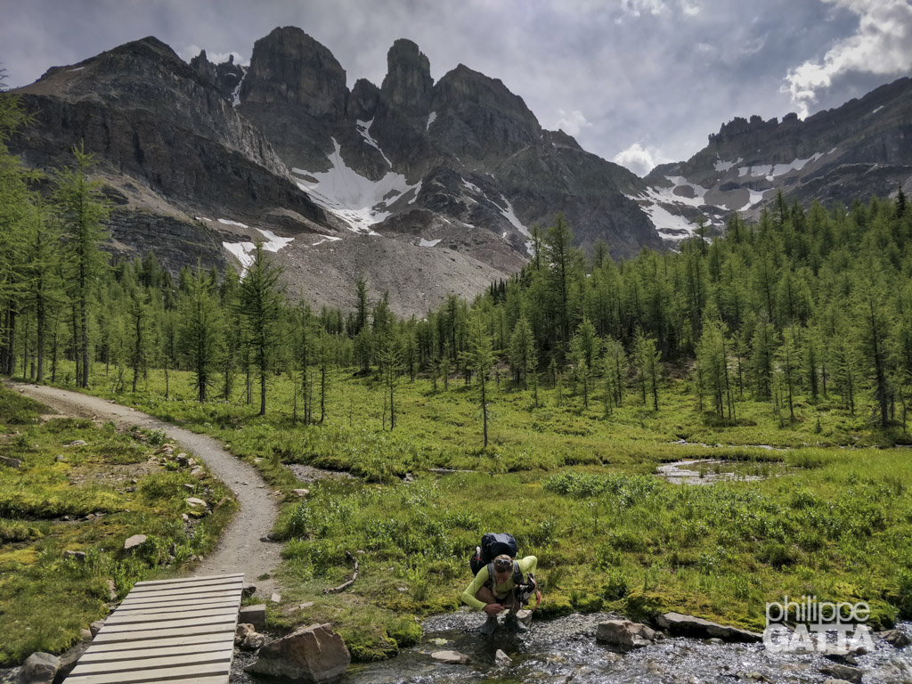
Anna and Philippe had planned a 15-day run from Peter Lougheed Visitor Centre to Mt Robson, covering approximately 600 km and +22 000m. Their goal was to cover an average of 40 km per day, carrying enough food and gear to last them between resupply points.
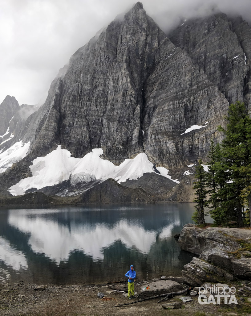
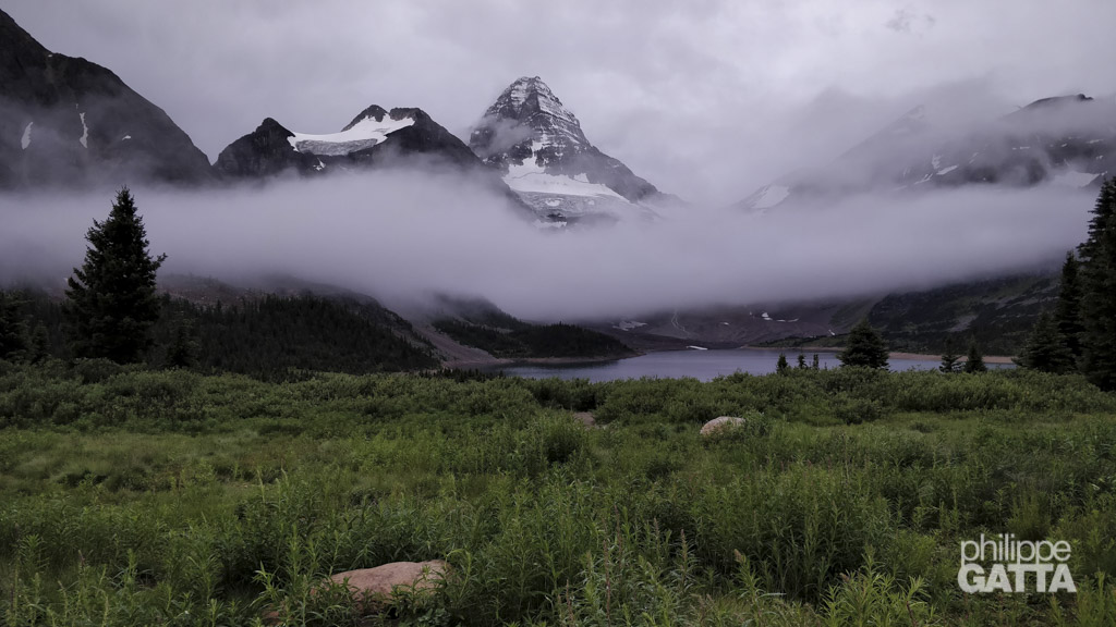
However, they faced challenging weather conditions, including heavy rain and mud, which slowed down their progress. When they were halfway through, Anna sustained an injury, and they had to stop for two days in Field, near Banff National Park.
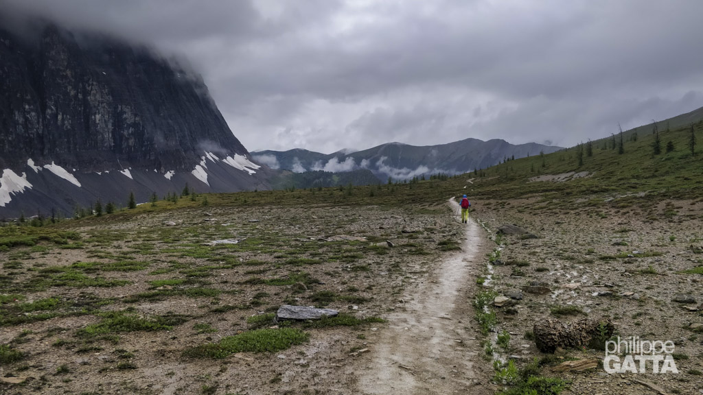
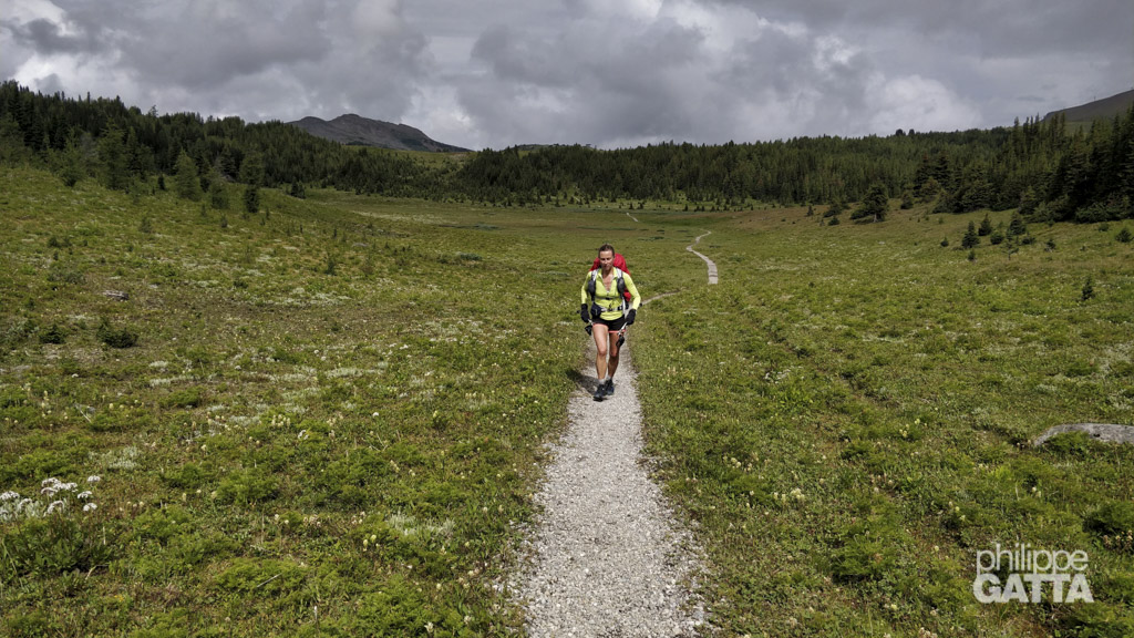
After resuming their journey, they encountered a snowstorm at Saskatchewan River Crossing, which made it impossible for them to cross the wild areas towards Jasper. This setback caused them to fall several days behind schedule.
Despite this, the park authorities would not let them change their bookings and authorizations, which meant they could not continue towards the North. Instead, they had to alter their plans and embark on multiple day runs along the way.
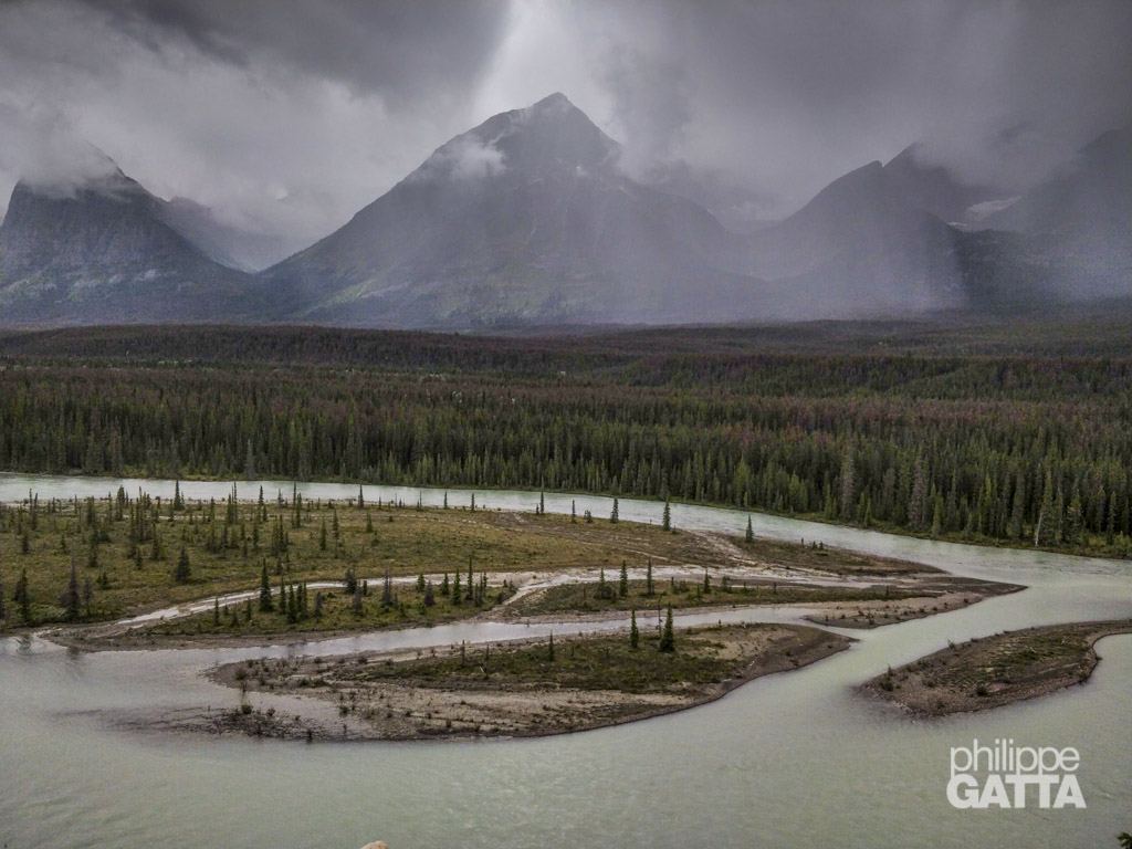
Eventually, they managed to reach Mt Robson, although it was not according to their original plan.
