
La Tournette (2,351m), is a very scenic peak of the Bornes Massif. The West side has big cliffs and offers amazing view over Annecy and its lake, while the pastures of the East side are perfect for trail running.
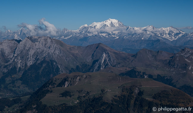
Bornes, Aravis and Mont Blanc Massif seen from the top
We made a 17 km and +1,610 meters loop starting at l’Ermite, a small village between Thones and Sarraval.
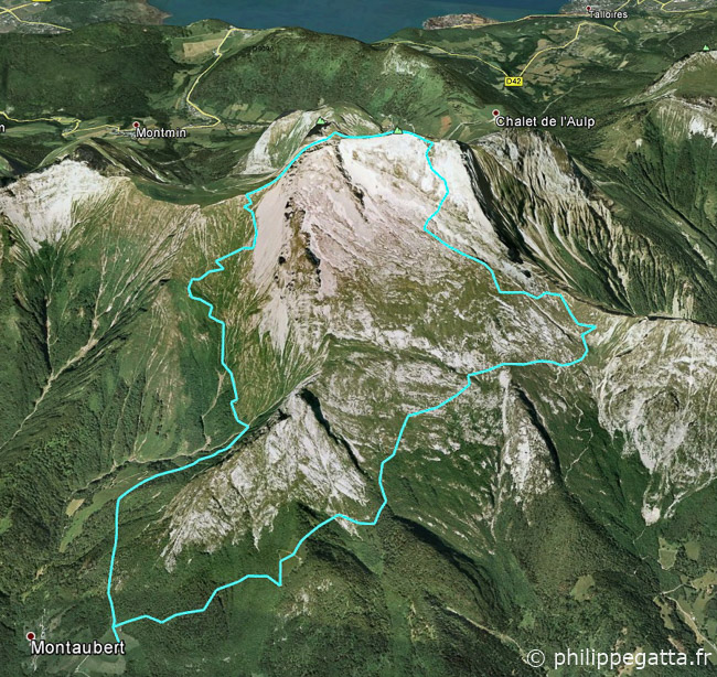
Map of the trail (© P. Gatta)
Trail description: from l’Ermite, follow the GR Pays de Tournette Aravis.
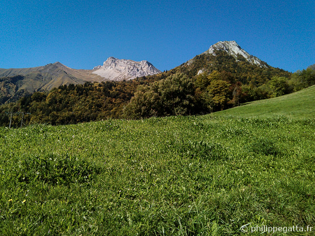
Pasture above l’Ermite and Tournette behind (© P. Gatta)
Pass Les Praz Dzeures hut and follow the trail on the West side of La Tournette.
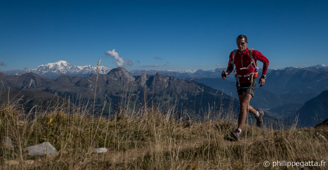
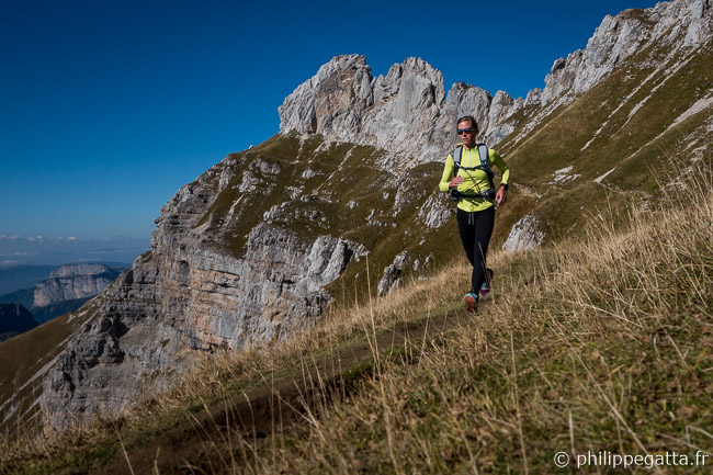
The crest above Les Praz Dzeures, Mont Blanc in the background (© A. Gatta)
Follow a steep trail with ladders and chains to reach the summit and get back down on the trail.
Cliffs of the West side of Tournette (© P. Gatta)
Continue on the Northeast side down to the Chalet de Rosairy (hut).
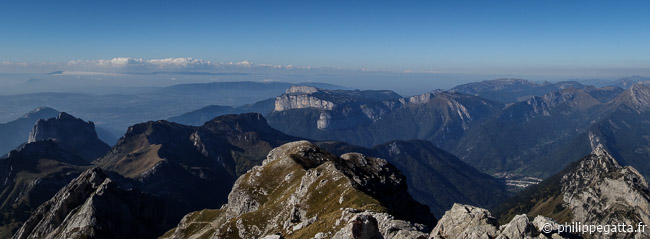
View from the top looking toward the North (© P. Gatta)
Go Southeast to Les Trois Vargnes and then back down to l’Ermite.