
Sunday Anna and I did a 20 km Trail running around the village of Vence (325m). It is a nice Trail, with a limited elevation gain +1000m / -1000m and where it is possible to run most of the time. Even if we had a GPS and I already did this Trail a while ago, we go lost after crossing La Cagne river (point 656m on the map). We kept walking in a rough terrain in the forest for 40 minutes before getting back on track 1 km before la Garussière. We clearly did not set a record…
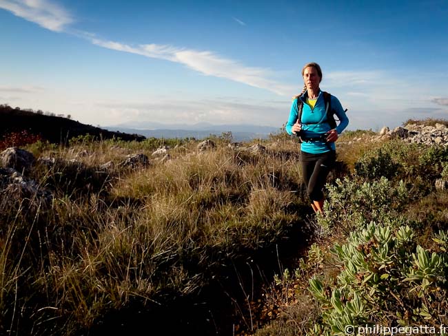
Anna close to Baou des Blancs (© P. Gatta)
Distance: 20km, ascent: 1000m / descent: 1000m.
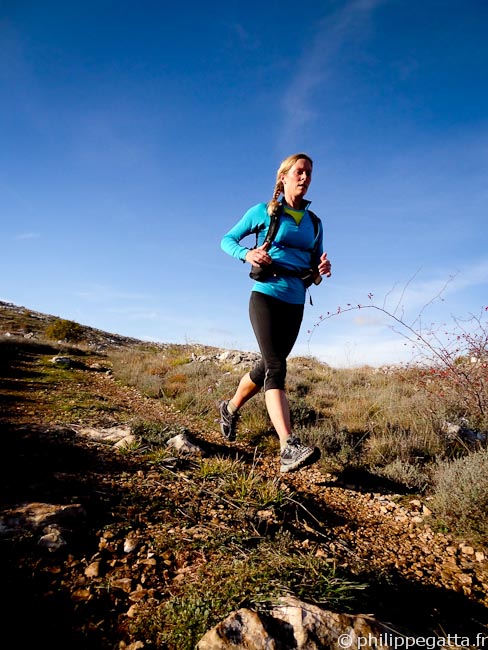
Anna close to Les Blaquières (© P. Gatta)
Description: start at Vence (le Claous) and take the Trail toward Baou des Blancs. The trail crosses the road to col de Vence a couple of times and passes in front of the Chateau St Martin.Near the top of Baou des Blancs continue toward the North: Les Blaquieres and Plan de Noves, then follow the GR 51.
Cross the Cagne river (bridge, post 129), follow a dirt road (139, 140). Then leave it to follow a smaller trail (yellow paint). Go down to the Cagnette river and cross Cagne river again (656m, 11km from the start). Continue on the trail to La Garussiere (143), join and follow the road of Col de Vence for 1.5km. Then leave it to pass Grabelle, Combe de Barbe. Join the GR 51 again (630m, 17th km). Continue on the GR 51 to Vence and the starting point.
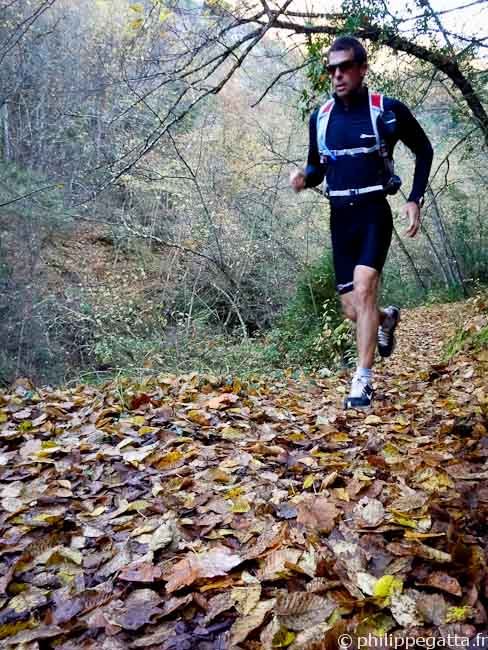
Philippe toward the bridge over La Cagne (© Anna Gatta)