
Nice Trail from Brevent to Col de Salenton and then Vallon de Berard to Buet and Argentière. What a place!
Trail around Aiguilles Rouges, Fiz and Anterne in the background (© P. Gatta)
We trail we made starts at Brévent cable car. Then it goes down to Pont d’Arlevé along the GR5. Continue to the Refuge de Moede Anterne and turn right to Collet d’Ecuelle. Follow GRP Tour du Pays de Mont Blanc to Col de Salenton, go down along the Vallon de Bérard and to Buet. From there run up to Col des Montets and get to Argentière to take a bus back to the parking.
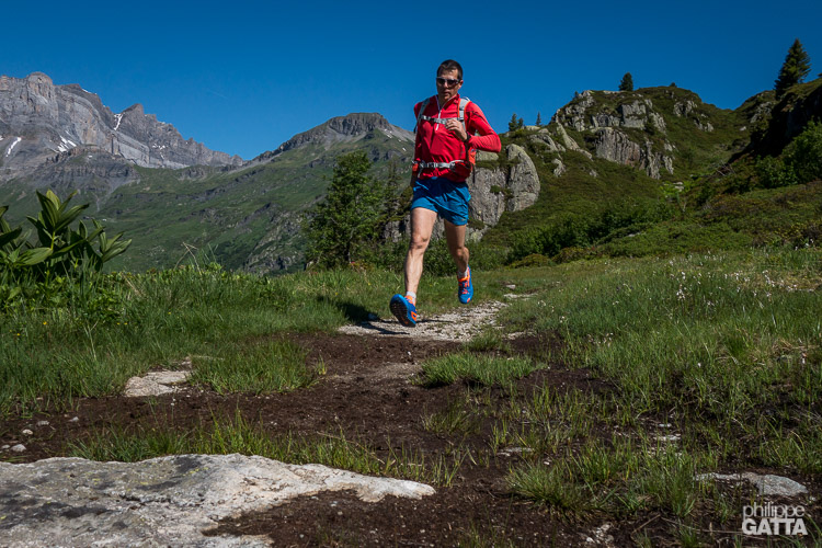
Between Brévent and La Diosaz (© A. Gatta)
The total is 27.5km long with +1,600m/-2,800m.
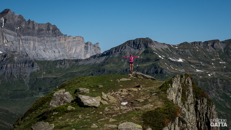
View over Aiguilles Rouges from Collet d’Ecuelle (© P. Gatta)
Description: from Brévent, follow the GR to refuge de Moede Anterne, pass the Collet d’Ecuelle.
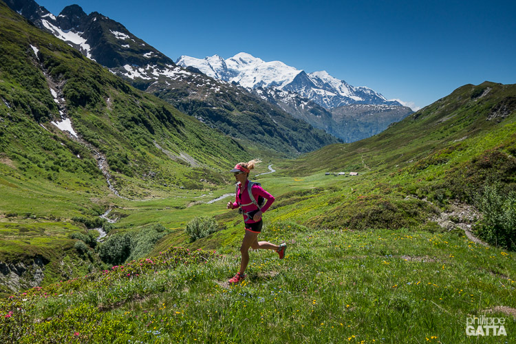
Above Challets d’Ecuelle, Mont Blanc in the background (© P. Gatta)
Continue to the Challets d’Ecuelle and cross Col de Salenton.
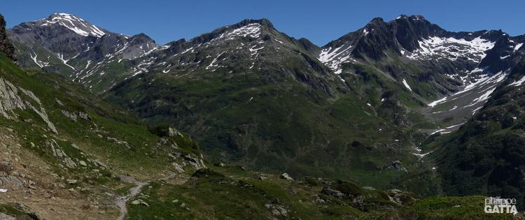
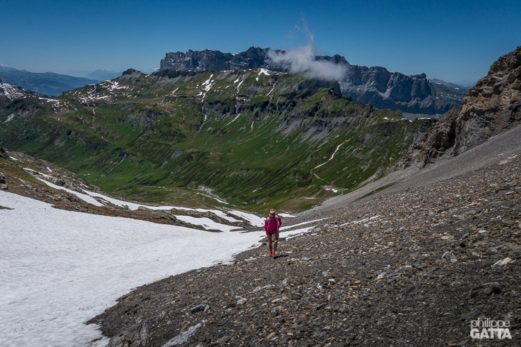 Climbing toward Col Salenton, the Fiz in the background (© P. Gatta)
Descend to the Buet village and continue to Argentière
Here is the GPS Route.
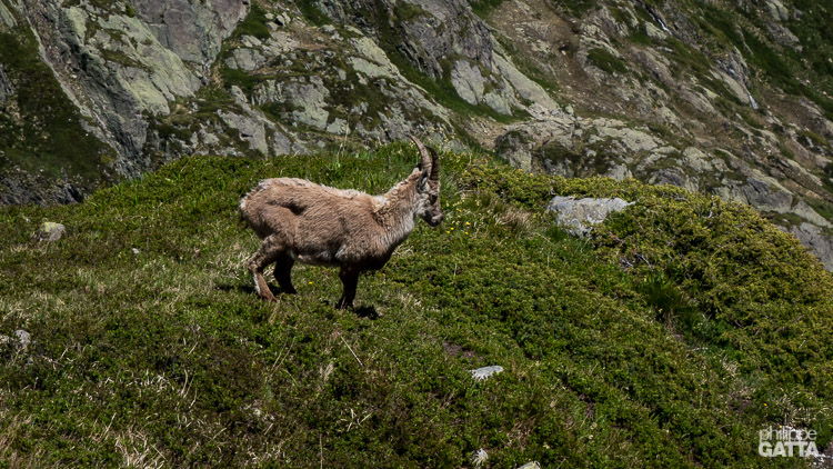
Wildlife close to Pierre à Bérard (© P. Gatta)