This difficult and long trail running offers outstanding views over the French Riviera. It starts with the ascent of Mont Ferion (1412m) and Col de l’Autaret (1308m), then goes down in the Vesubie valley, goes up to Utelle, down to Tinee Valley before traversing Mont Vial (1541m) from North to South. Overall the trail is good but a bit rocky and often technical.
Distance: 57km, ascent: 4300m / descent: 4300m.
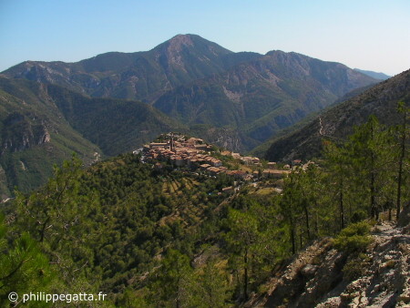
Village of Utelle and Mont Férion (© P. Gatta)
Description: Start at Plan du Var. Go to Levens (posts 298, 296, 294, 293, 292). Follow the trail to Mont Férion by col du Dragon (250, 251, 252, 253, 254, 255, 256, 257, 272, 273). Descend to the Col Saint Michel (206, 443).
Go up again to the Col of Autaret (444, 447, 448) then descend to Imberguet village by the Collet de Boiera (123, 122a, 122). Continue to Saint Jean la Rivière (121, 124).
Climb to Utelle (12, 111: fontain, 112, 113), continue to the post 114 then descend to the road N202 thru le Reveston (119, 109, 108, 107, 106).
Follow the road toward Nice for around 1km to the post 1, take to bridge then climb toward Malaussène thru post 2. Just before the village at the post 6 take left the trail going to col du Serse and Mont Vial (6, 7, 8), 900m ascent.
At Mont Vial (1541 m) descend to Plan du Var thru Revest les Roches and Bonson (32, 31, 38, 28, 20, 22, 26).
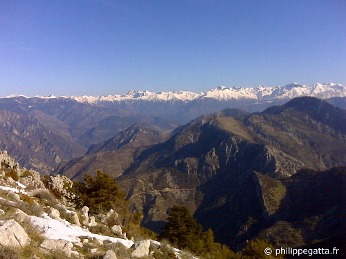
Winter view the Alps from Mont Ferion (© P. Gatta)
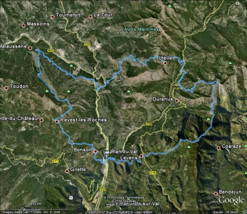
Map of the trail: