
After a few nice trails in the Bornes– Aravis Massif, we decided to go back there, this time to run around Sous Dine peak and the Plateau des Glières.
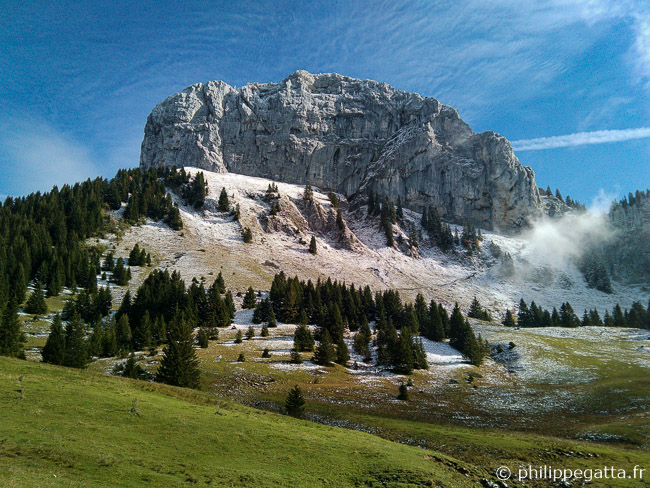
Roche Parnal seen from Chalet de Balme (© P. Gatta)
We made a 25 km and +1,630 meters loop starting from Plateau des Glières above Le Petit Bornand.
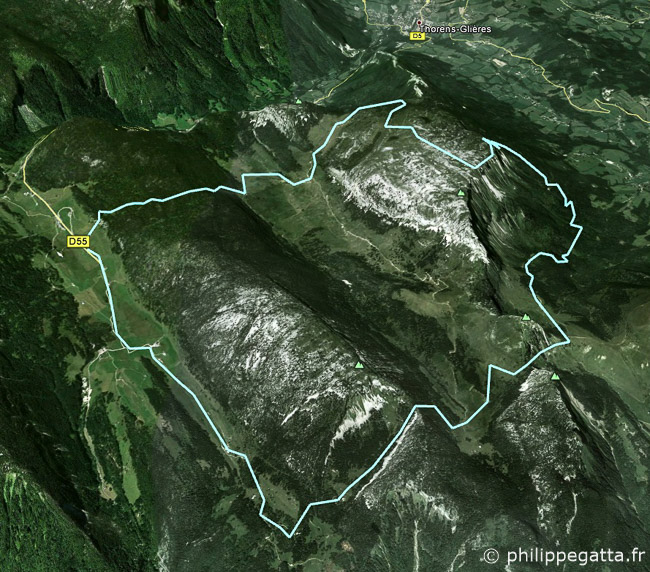
Map of Sous Dine (Bornes Massif) trail (© P. Gatta)
Trail description: from Plateau des Glières (1,430 m), follow the trail to the Northwest, cross the Montagne des Frètes (1,578 m) to the Chalet du Plan (1,935 m).
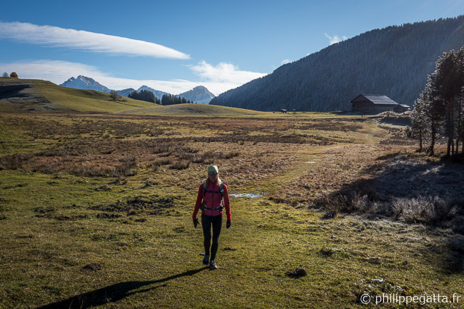
Col des Glières (© P. Gatta)
Continue to Trou de la Pierre (1,571 m) and reach the beautiful crest to Sous Dîne (2,001 m). Enjoy the view over Aravis and Mont Blanc Massif.
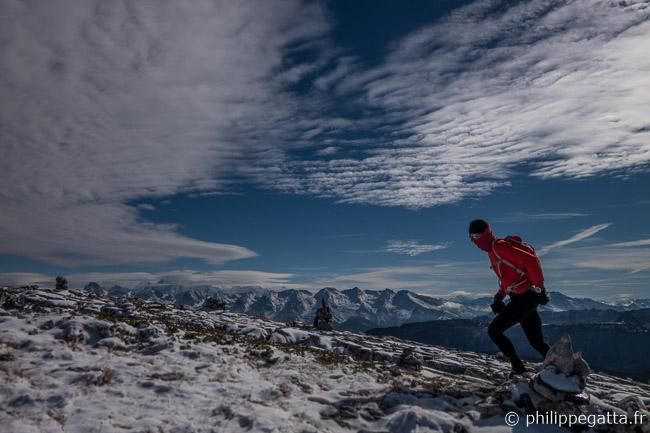
Montagne de Sous Dîne (© A. Gatta)
Descend to Passage de Monthieu (NW) and follow the trail North of Sous Dîne to Chalet de Balme (1,500 m).
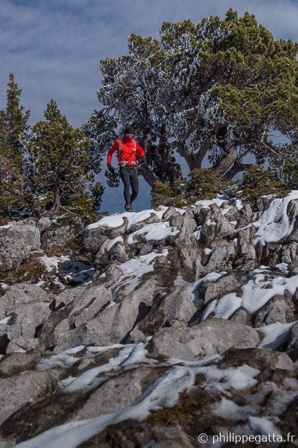
Montagne de Sous Dîne (© A. Gatta)
Continue to the Col du Freu (1,694 m), Col de Spée (1,688 m), Spée Hut and get back down to Col des Glières.