
Since my return from the Khan Tengri expedition I mainly ran on road, doing interval training. Yesterday I was glad to leave the road to resume Trail running. I did a 37 km loop starting in Plan du Var and climbing Mont Férion and Madone d’Utelle. The profile of the Trail is interesting with 4 main sections: 10 km / +1400m climb, 11 km / -1100m descent, 5.3 km / +900m climb and a final 10km / -1155m descent.
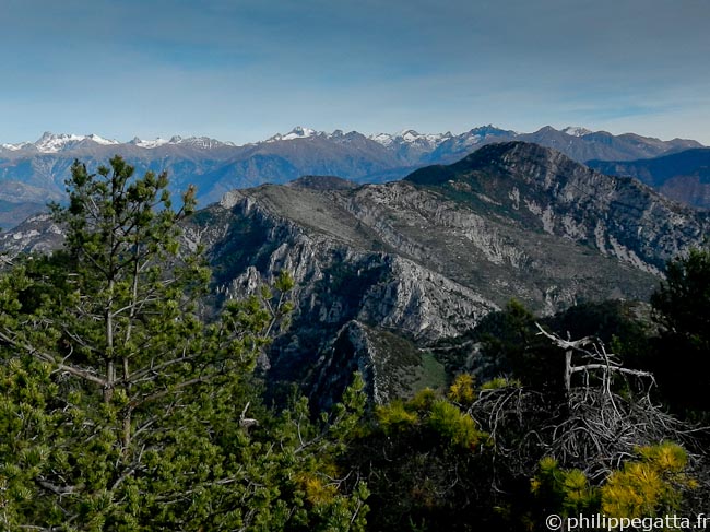
The Alps and Roccassièra seen from Mont Férion (© Philippe Gatta)
Distance: 37 km, ascent: 2400 m / descent: 2400 m.
Description: park at Plan du Var. Climb to Levens (signpost 298, 296, 294, 293, 292). Continue up to the Mont Férion via the Col of Dragon (250, 251, 252, 253, 254, 255, 256, 257, 272, 273). Descend to the Col Saint Michel (206, 443) and continue to the village of l’Imberguet (442, 441, 450), follow the road to B122a. Continue to Saint Jean la Rivière (121, 124).
Climb to Utelle (12, 111, 112, 113), continue to the signpost 114. Climb to the Sanctuaire de la Madonne d’Utelle (115, 116) and descent to the Col de la Moutète (117, 118, 105, 100). Continue down to the Chaudan (99, 98, technical and steep descent, 97). Follow the road for 1.6 km to Plan du Var.
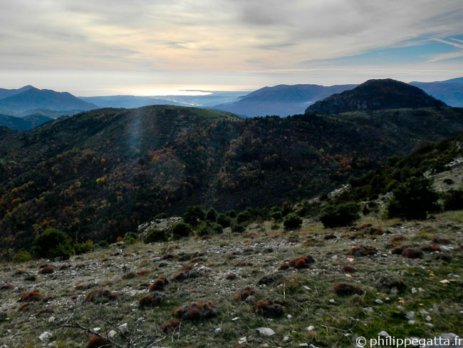
The French Riviera seen from Madone d’Utelle (© Philippe Gatta)