
Anna and I went to the Cians for a nice trail running of 31 km and 2150 meters of ascent. The trail starts at Pont du Cians and makes a loop around the Gorges Inférieures du Cians and crossing three small villages: Rigaud, Lieuche and Thiéry. There was some snow between Col de Barbenière and Col de Mairola.
The Village of Thiéry (© A. Gatta)
Trail distance: 31 km, ascent: 2150m / descent: 2150m.
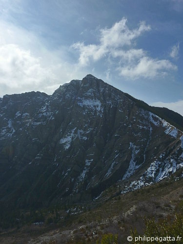
Montagne de Mairola from the Baisse des Abrics (© P. Gatta)
Trail description: park at Pont du Cians (338m), follow the road to Beuil for 500 meters up to the signpost 190 and take the trail to the Chapelle St Joseph. Continue to le Fiou (189, 186) and Chapelle St Julien (185). Go to the Col de Barbenière (184) and Col de Mairola (183). Go down to Rigaud either along the GR 510 or nicer in my opinion along the crest des Abrics (204, 202). This is more or less half way. Follow the GR 510 to the Moulin de Rigaud (201, 200) and go up to Lieuche (101, 102, 103). Continue on the GR 510 to the Baisse du Grand Palier (92) and Thiéry (87). Continue to the Baisse de Thiéry (88, 41, 40) and descent to Touet sur Var (39, 38, 37). Follow the road for 1.5km to Pont du Cians.
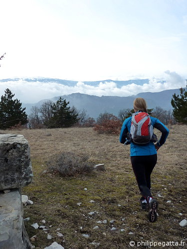
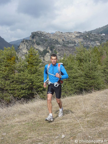
Anna close to the Chapelle St Joseph (© P. Gatta)
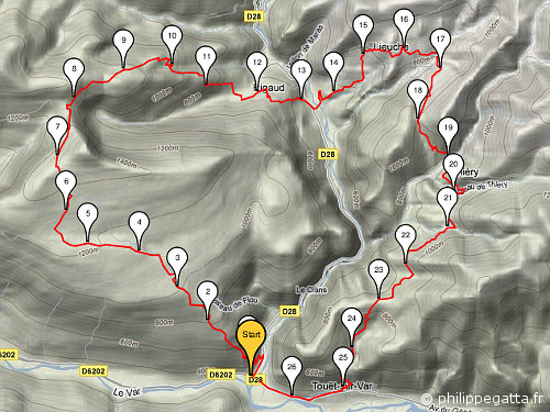
Map of the trail (© P. Gatta)
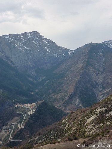
Mairola and Crest of Abrics seen from Lieuche (© P. Gatta)