
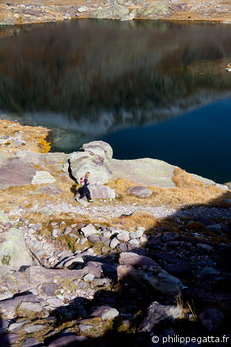
Last weekend Anna and I did a very nice trail in the Valleys of Gordolasque and Merveilles. The trail is only 21km long but it takes place between 1600m and 2700m of altitude and some sections are steep so it should not be underestimated. The views over the numerous lakes, Mercantour peaks and the archaeological site of Vallee des Merveilles are amazing. As often there was already some snow on the highest passes.
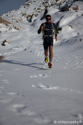
Philippe close to Baisse du Basto, 2710 m (© A. Gatta)
Distance: 21 km, ascent: 1750 m / descent: 1750 m.
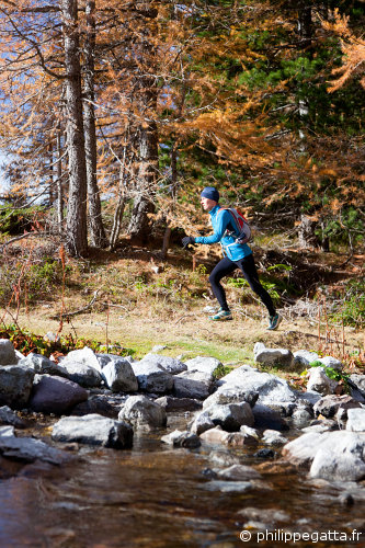
Anna toward Pas du Trem (© P. Gatta)
Description: start at Granges des Clots (1589 m, signpost 276) in the Gordolasque Valley. Go up along the Vallon de la Mairis and continue to the Pas du Trem (2480 m) right by the Cime du Diable. Go down toward the Refuge des Merveilles along the GR 52 (404, 92). At the refuge go up and cross the archaeological site of Vallee des Merveilles (93) up to the Baisse de la Valmasque (2549 m, 94). Continue on the GR 52 up to the Baisse du Basto (2693 m, 401). Take left to descend to the lake Autier and continue down to the Pont du Countet (414, 413, 412). Continue on the small road for 1.5km to join the starting point.
Anna toward Pas du Trem (© P. Gatta)
There is another option after the Baisse du Basto: go down to Refuge de Nice and Lake de la Fou (418, 417, 416) and join the previous trail at the Pont du Countet (415, 413, 411). This makes the trail a few kilometers longer.
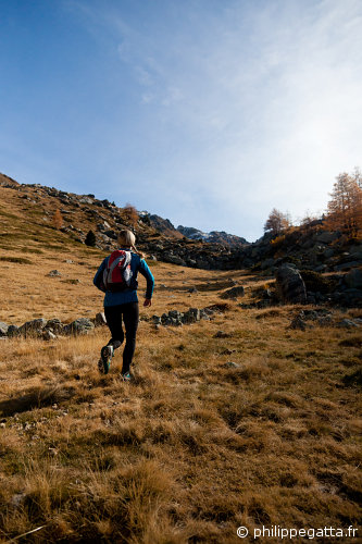
Anna descending toward the Refuge des Merveilles (© P. Gatta)