GASHERBRUM II (8035 M), GASHERBRUM I (8068 M)
KARAKORAM, PAKISTAN
The Gasherbrum I (8 068 m), Gasherbrum II (8 035 m) and Broad Peak (8 047 m) are located in the Karakoram range (West of the Himalayas) in the Northwestern part of Pakistan, at the borders of Pakistan, India and China. This Range has 4 peaks above 8 000 meters: K2 (8 611m), Gasherbrum I and II and Broad Peak, more than 60 peaks above 7 000 meters and even more 6 000 meters peaks.
Gasherbrum I (8 068 m / 26,469 ft)
The Gasherbrum I (also called Hidden Peak or K5) is the highest of the Gasherbrum’s, the 11th highest peak in the world and it is the second highest in the Karakoram Range. Nicholas B. Clinch, Pete Schoening and Andy Kauffman made the first ascent July 5 1958 . Since then, only 265 climbers reached the top. It’s one of the less climbed 8 000 meters Peak. The most common route is the Japanese Couloir. Actually, it is more technical and challenging than Gasherbrum II and Broad Peak. The base camp and the camp 1 are shared with the Gasherbrum II, the Camp 2 is at 6 250 m (21,150ft) and the Camp 3 at 7 200 m (23,625ft).
Gasherbrum II (8 035 m / 26,361 ft)
Gasherbrum II (formaly K4) is part of the greater Gasherbrum group of 6 peaks and is the world’s 13th highest mountain. Fritz Moravec, Josef Larch and Hans Willenpart made the first ascent on 8th July 1956 . Since then, 871 climbers reached the top. The normal route follows the Southwest ridge. Actually the base camp is set at 5 150 m, Camp 1 at 5 950 m, Camp 2 at 6 450 m and Camp 3 at 7 000 m.
The Expedition
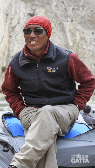
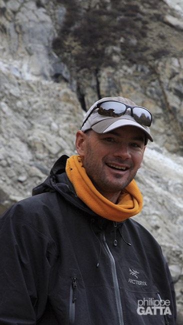
Philippe teamed up with Gorgan Wildberger and Serap Jangbu Sherpa. Serap had only Gasherbrum 1, Broad Peak and Nanga Parbat left to complete the list of 14 8000 meters. Serap, Gorgan and Philippe were sharing base camp services with Altitude Junkies and ATP.
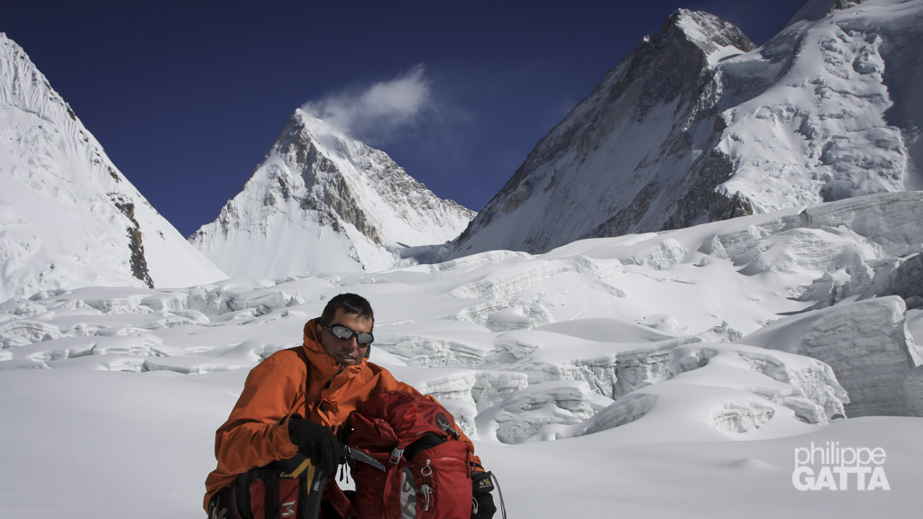
Gasherbrum II: Southwest ridge on the left, French route on the right. (Photo © P. Gatta)
Trekking to Gasherbrum BC:
The team arrived in Islamabad on June 6th. The flight from Islamabad to Skardu has been canceled several times so they finally drove along the Karakoram highway. This 28 hours bus ride was rough but they finally arrived in Skardu on the 10th.
They reached Askole (2 950 m) a few days later, after 7 hours of Jeep from Skardu (120 km).
On June 13, they started the trekking from Askole to the Gasherbrum base camp.
Askole (2 950 m) - Jhula (3 100 m)
Overall it’s a good trail which leaves the grassy camp of Askole and follows a sandy trail along the river. It can be really hot in the sun.
5h45 walk. ~20 km. Elevations: +430 / -330m.
Jhula - Paiju (3 450 m)
Another day on the sandy trail that follows the river. Paiju is a plaisant camp site with some trees. It offers great views over the Nameless Tower (East of Trango).
5h30 walk. ~21 km. Elevations: +430 / -190m.
Rest day at Paiju.
Paiju - Urdukas (4 050 m)
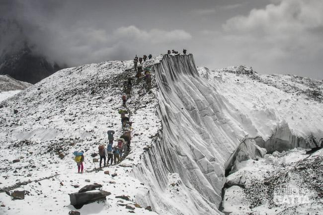
The trail continues after Paiju for ~1 hour and then continues on the Baltoro glacier. From there on, the walk is 100% on the glacier moraine. It is rough, constantly zigzaging and going up and down. Urdukas is on the slopes above the glacier, on the South side. There are some grass and outstanding views over the Trango Tower.
6h45 walk. ~19 km. Elevations: +1000m / -390m.
Urdukas - Goro 2 (4 300 m)
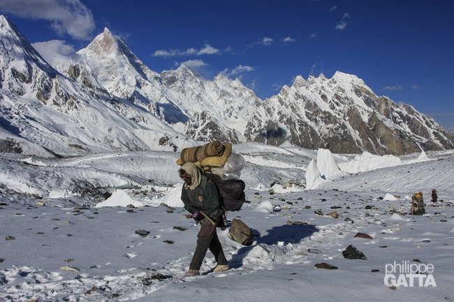
After Urdukas the trail continues in the center of the Baltoro glacier. When the weather is clear, one can see the Masherbrum, Mustagh Tower, Gasherbrum IV and Broad Peak. Goro 2 camp site is on the glacier.
4h35 walk. ~14 km. Elevations: +510m / -215m.
It snowed during the night and the porters refused to go, so we spent another night at Goro 2.
Goro 2 - Shagring (4 750 m)
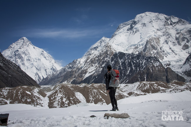
From Goro 2, the trail continues in the center of the glacier up to Concordia. Concordia is the junction of several glaciers: Baltoro, Abruzzi, Godwin Austin and Vigne. The view from Concordia is amazing and probably one of the nicest in the world. We can see two 8000 meters peaks –K2 and Broad Peak, and countless peaks over 6000 m. It’s is recommended to continue and camp at Shagring which is much cleaner than Concordia. Then the trek to the K2 and Broad Peak, goes to the North on the Godwin Austin glacier. Later, the trek to the Gasherbrums goes to Southeast on the Baltoro glacier., while the trek to the Gondogoro Pass goes to the Southwest on the Vigne glacier.
7h walk. ~19km (3h30, ~11km up to Concordia). Elevations: +760m / -340m.
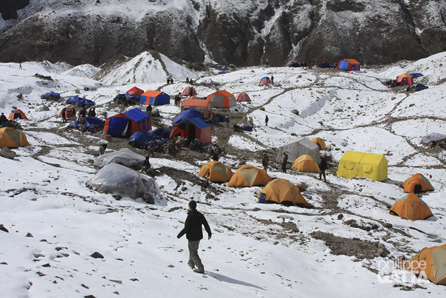
Shagring - Gasherbrum BC (5 150 m)
The walk to the Gasherbrum BC is relatively short along the Baltoro and the Abruzzi glaciers. There are outstanding views over the Gasherbrum peaks, Chogolisa, Mitra Peak and Baltoro Kangri. The base camp is located on the central moraine of the Abruzzi glacier, just below the start of the Icefall leading to the Gasherbrum 1.
3h30 walk. ~11 km. Elevations: +500m / -210m.
The climb
The weather has been very bad with lots of snow and constant high winds in altitude (50 km/h to 80 km/h). Actually, in 6 weeks of expeditions, they never had a good weather window for a safe summit bid. When they tried, they had to turn back in storms and avalanche conditions. At the time Philippe left the base camp, nobody had summitted Gasherbrum 1, 2 and Broad Peak.
The conditions improved slightly a few weeks later allowing Veikka Gustafsson, Kazuya Hiraide and a Bulgarian team to reach the top of Gasherbrum 1. Veikka completed his 14x8000ers quest.
Later on, Oh Eun-sun and a Spanish team also reached the top of Gasherbrum 1. On Gasherbrum 2, the Iranian team turned back 50-100m below the summit while a Spanish mountaineer disappeared near the summit the same day.
Others 8000m
Nobody reached the true summit of Broad Peak and unfortunately a few deaths were reported on Broad Peak and K2. On Gasherbrum 6, Daniela Teixeira and Paulo Roxo made several attempts but had to turn back because of poor snow condition and avalanches. For similar reasons, Don Bowie, David Falt, Bruce Normand, Guy McKinnon and Billy Peirson couldn’t reach the top of Gasherbrum 3 and 4. Arian Lemal who was on a Gasherbrum 1 / Gasherbrum 2 expedition has made significant efforts to collect abandoned rubbish at Gasherbrum BC and camp 1, like he did previously on Aconcagua.
Trekking from Gasherbrum BC to Gondogoro and Hushe
Gasherbrum BC - Ali Camp (5 050 m)
The beginning of the trek is the same than on the way up. At the junction with the Baltoro glacier (when it turns toward the North), leave the central moraine going to Shagring and traverse the glacier toward the West. Cross several moraines and ice until you reach a trail on the extreme West side of the glacier. Continue to go down toward the Vigne glacier. Turn left to follow the Vigne glacier upwards. Cross it to reach its West side. Continue up to the Ali Camp. There are several rivers on the glacier and they can be very tricky to cross, especially below Ali Camp. There are not so many good spots at this camp and this is plenty of rubbish.
8h walk. ~19 km. Elevations: +400 / -500m.
Ali Camp - Gondogoro Pass (5 680 m) - Shaisho (3 400 m)
After departing Ali Camp at 1am, we encountered several rivers to cross. Despite the abundant snow, the trail was well-maintained and included fixed ropes throughout, from the base of the Gondogoro face up to the Col and back down. The South side’s scree was entirely concealed by the snow. Following this, we took a break for lunch at Huespah, which provided a stunning view of Leila Peak and proved to be a pleasant camping spot. However, there was still a considerable distance to cover before arriving at Shaisho, which was also situated beside a river and shaded by trees.
12h walk (3h45 up to the Gondogoro). ~28 km. Elevations: +900 / -2300m.
Shaisho - Hushe (3 180 m)
The trail from Shaisho to Hushe is very good and relatively short. From Hushe it takes 6 hours of Jeep to Askole.
2h10. ~10 km. Elevations: +50m / -270m.
GPS Coordinates
|
|
Leila Peak seen from Huespah camp (Photo © P. Gatta)